Aerial / Drone Photography
What is aerial photography?
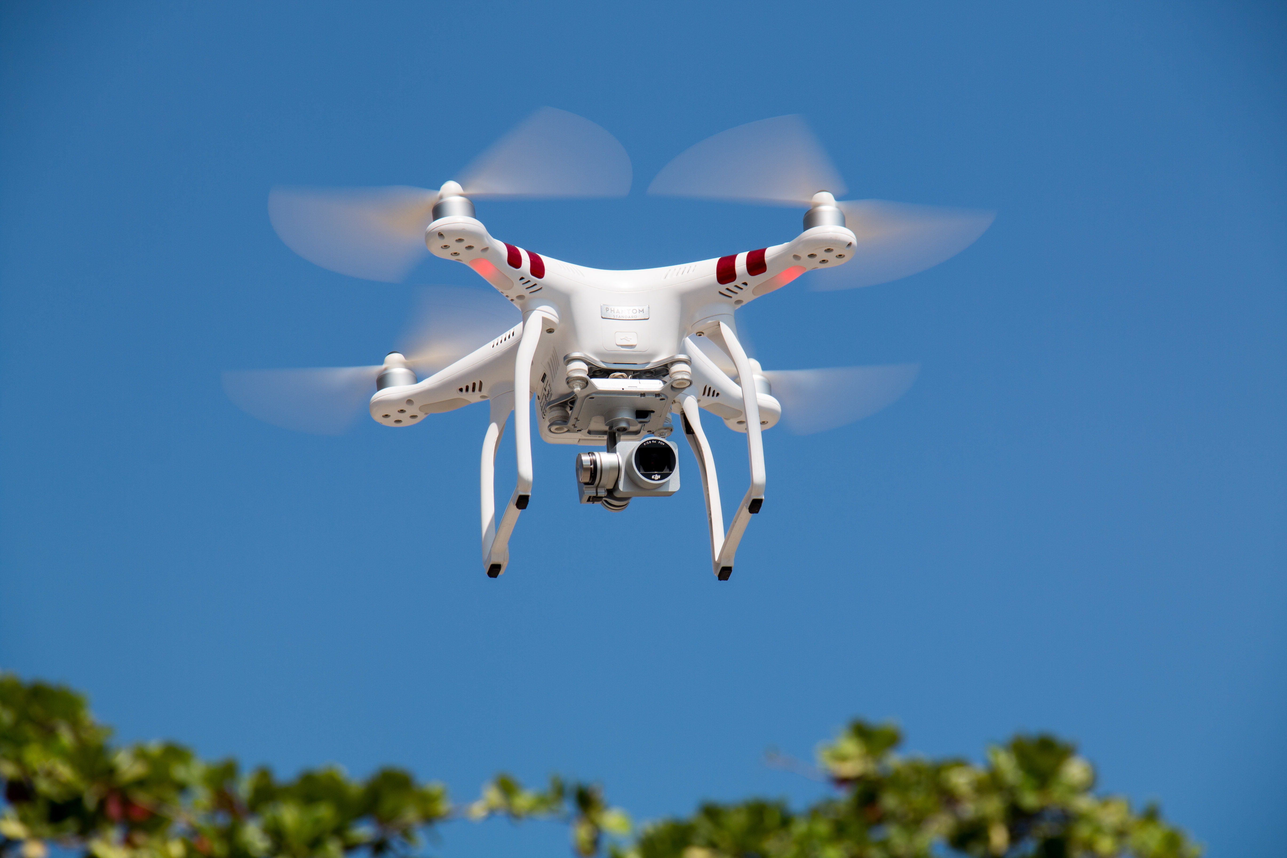
Drone photography, also known as aerial photography, is the practice of taking photographs from an elevated position. It is done using unmanned aerial vehicles (UAVs) or drones. Aerial photography has become increasingly popular in recent years. The increasing popularity is due, in part, to advances in drone technology as well as the availability of high quality cameras.
What is drone photography used for?
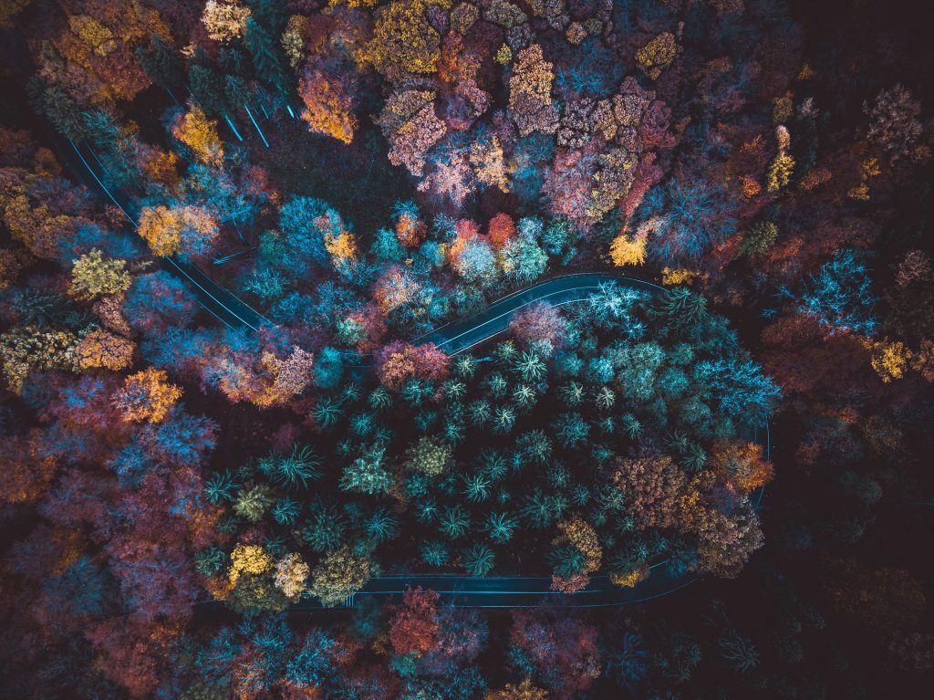
Drone/aerial photography can be used for a variety of purposes. These purposes include construction, mapping, surveying, real estate, tourism, and art. It can provide a unique perspective on a location or subject. This gives viewers a better understanding of the area’s features and layout. Aerial photography can also be used to create 3D models and maps. 3D maps and models are useful for a variety of industries.
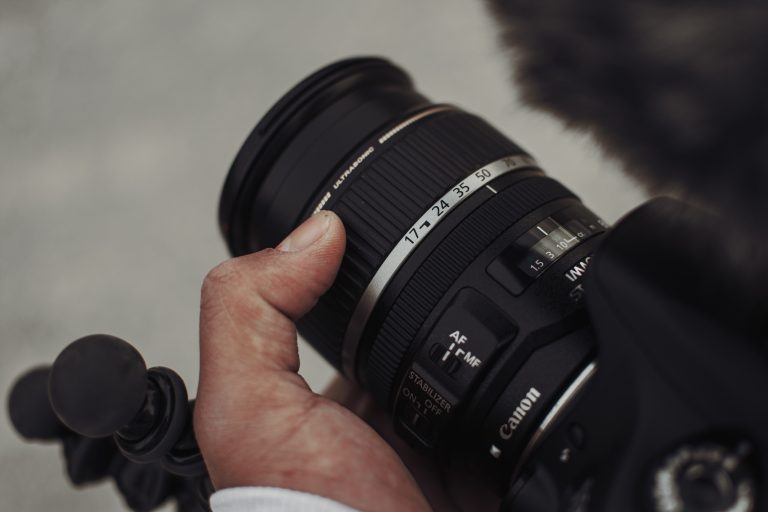
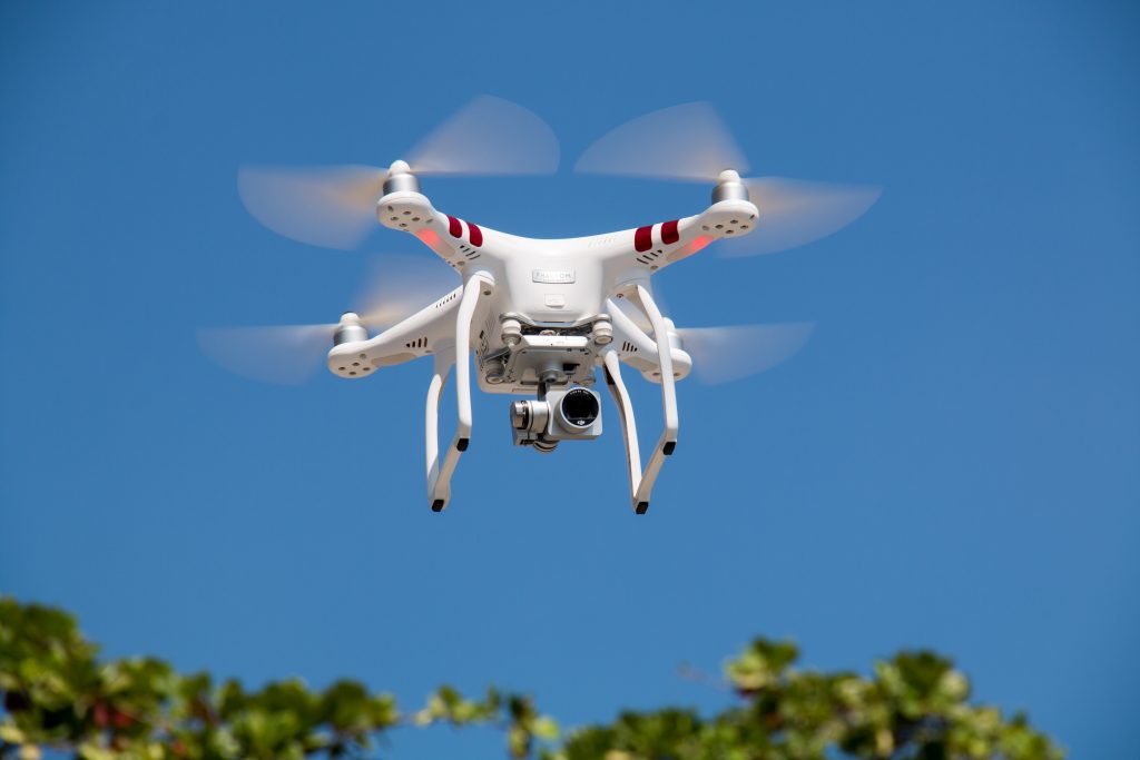
There are many different types of drones available. They range from large, powerful drones, down to small, lightweight models The camera used on the drone can also vary. Some drones feature a built-in camera and others require separate cameras to be attached.
Caution
A note of caution – When conducting aerial photography using a drone, it is vital to follow all related guidelines and regulations. These include those related to privacy, airspace, and safety. It’s also vital to be aware of weather conditions and to fly the drone in a responsible manner.
Aerial Photography by Virtualtech Design
Virtualtech Design is a leading provider of drone and aerial photography for a variety of industries.